Can you do this?
Trail Ridge Road — what it takes
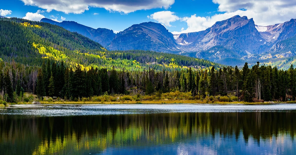
The whole crossing is paved and drivable, topping out above tree line on the tundra with overlooks the whole way. The draw is the altitude — you go from montane forest to 12,000-foot tundra in an hour, and the thin air shows it. It suits drivers and families who want the high alpine without a climb; just respect the elevation and how fast the weather turns up there.
- Distance 48 mi
- Time Half to full day
- Permit Timed-entry reservation
- Season Late May – mid-Oct (snow)
Two gates. The road is seasonal — plowed open by late May and closed by the first big fall snow, so the calendar decides whether it's even drivable. And in peak summer hours the park runs a timed-entry reservation; the Trail Ridge Road entrance needs one. The road itself is free, but without a reservation you don't get through the gate.
The route, in order
How the route runs
Each stop below is a real place on the park's map — walked in sequence, with how long you spend at each.
- Many Parks Curve 20 min
The climb begins
The first big pull-off above Estes Park — the view back over the broad montane valleys before the road climbs into the trees and then above them.
- Rainbow Curve 15 min
Treeline
At about 10,800 feet the trees give out; from Rainbow Curve you look down on the forest you just drove through and out to the plains.
- Forest Canyon Overlook 20 min
On the tundra
Up on the alpine tundra now — a short paved path to the rim of Forest Canyon with the Gorge Lakes below. Stay on the path; the tundra takes decades to recover from a single footstep.
-
The top
The Alpine Visitor Center at about 11,800 feet — the highest in the park system — and the Gore Range overlook. Catch your breath, then descend toward Grand Lake on the quieter west side.
Before you can go
Permit & logistics
A timed-entry reservation is required to enter Rocky Mountain in peak summer hours, via recreation.gov; Trail Ridge Road itself is free but seasonal. [VERIFY: current timed-entry season, the reservation hours, and the road's open/close dates against NPS Rocky Mountain before publishing.]
Plan B
If conditions turn
A multi-day route has more ways to go wrong than a dayhike. Here is what forecloses it — and your move when it does.
- Road closed by snow
Trail Ridge Road is plowed open only from late spring to mid-fall; an early or late snow can close it with little notice even in season.
Instead: Check the road status the morning of; if it's closed up high, drive Old Fall River Road or the lower Bear Lake Road instead.
- No timed-entry reservation
Peak-hour entry to the park needs a timed reservation in summer.
Instead: Book the reservation ahead on recreation.gov, or enter before the timed window opens in the early morning.
Make it happen
Reserve your spot
The route is decided. The only thing between you and the trail is the permit — settle it now, while it's fresh.
Save on Entry
One pass covers Rocky Mountain — and every other US national park.
The America the Beautiful annual pass pays for itself in two or three park visits. Free entry, free passenger fees, and no more fumbling for a credit card at the kiosk.
 Buy your pass →
Learn more about the pass
Buy your pass →
Learn more about the pass
Ships from US Park Pass. Free shipping in the continental US.