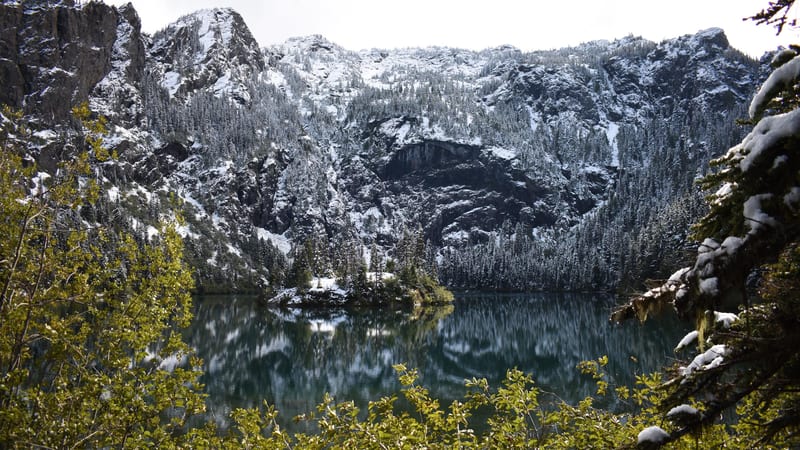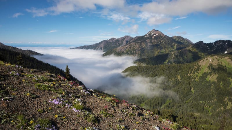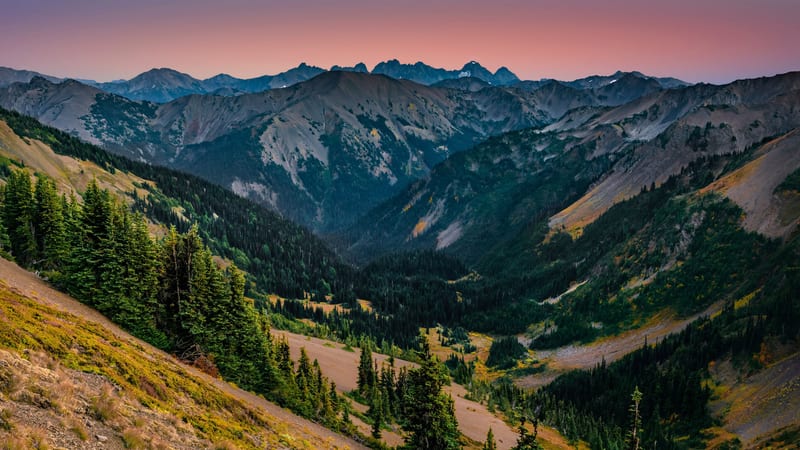
Badger Valley to Grand Lake and Grand Pass Loop
8.5 mi 2,647 ft gain 5.2 hr
Hard Loop
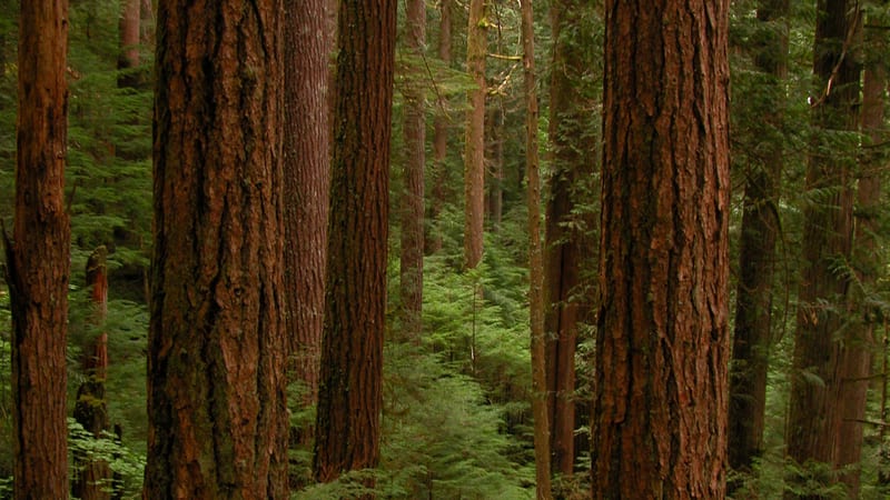
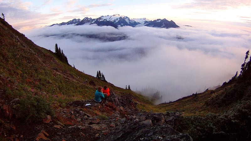
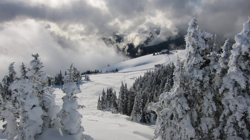
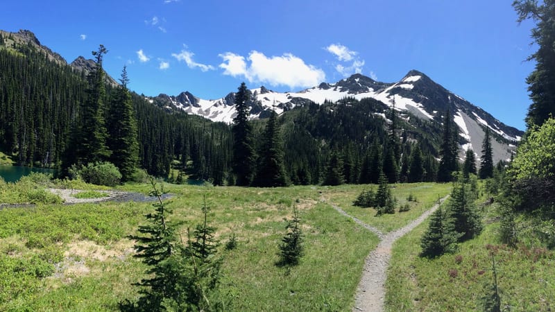
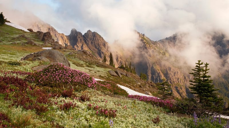
A 8.5-mile loop in the Olympic high country combining the meadows of Badger Valley with the alpine lake basin at Grand Lake and the exposed ridge views of Grand Pass — one of the most complete mountain days in the park.